![]()
![]()
![]()
Richard M. & Mathilde Rice Elliott SNA
|
|||
| Wilkin County | |||
| Northwest Minnesota | |||

| Size | 497 acres North Section: 342.65 South Section: 154.6 acres |
||||||||||||||||||||||||||||||
| Maps |
|
||||||||||||||||||||||||||||||
| Parking | There is a field road on the south side of County Road 188 (130th St.) at the northwest corner of the south section. Park on the field road. N46 35.234, W96 21.933 |
||||||||||||||||||||||||||||||
| Hiking Trails | No maintained trails |
||||||||||||||||||||||||||||||
| Hunting | No hunting |
||||||||||||||||||||||||||||||
| Ecological Classification | Province | Prairie Parkland Province |
 |
||||||||||||||||||||||||||||
| Section | Red River Valley |
||||||||||||||||||||||||||||||
| Subsection(s) | Red River Prairie |
||||||||||||||||||||||||||||||
| Land Type Association(s) | Barnesville Beach Complex |
||||||||||||||||||||||||||||||
| Native Plant Communities1 | Mesic Prairie (Northern) Prairie Wetland Complex Wet Prairie (Northern) |
||||||||||||||||||||||||||||||
| Ownership | |||||||||||||||||||||||||||||||
| Links | |||||||||||||||||||||||||||||||
| Comments | Wet Prairie What’s In a Name? |
|
Waterproof footwear recommended |
||||||||||||||||||||||||||||
| Visits | 8/18/2010 |
8/6/2012 | |||||||||||||||||||||||||||||


| Visitor Photos | |||
Share your photo of this destination. |
|||
This button not working for you? |
|||
| MinnesotaSeasons.com Photos | |||
| North Section | |||
Wood Routed Sign |
|||
 |
|||
| South Section | |||
Parking |
|||
 |
 |
||
 |
|||
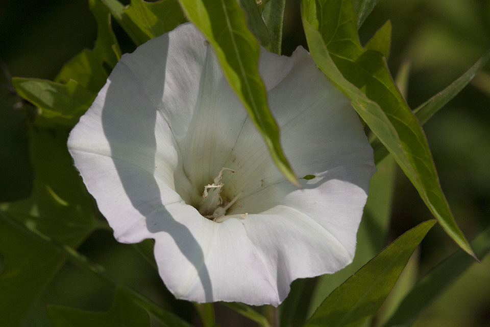
Wet Prairie (Northern) |
|||
 |
 |
||
 |
 |
||
Elevated View from Southwest Corner |
|||
 |
|||
 |
|||

| Slideshows | ||

| Visitor Videos | ||
Share your video of this destination. |
||
| Other Videos | ||


Last Updated: