Superior Hiking Trail
Crosby-Manitou State Park to Caribou Falls State Wayside
Location |
||||||||||||||||||||||||||||||
Driving Directions |
||||||||||||||||||||||||||||||
|
||||||||||||||||||||||||||||||
Parking |
||||||||||||||||||||||||||||||
Caribou Falls State Wayside |
||||||||||||||||||||||||||||||
Maps |
||||||||||||||||||||||||||||||
Guidebooks and maps are available for purchase through the Superior Hiking Trail Association. SHT Map Series D: Minnesota Highway 1 Trailhead to Temperance River Wayside Trailhead - - - - - - - - - - - - - - - - The Trail Atlas of the Superior Hiking Trail, a comprehensive map set for the entire Superior Hiking Trail, is available for purchase in digital format for use in the Avenza Maps app on IOS and Android. Trail Atlas of the Superior Hiking Trail - - - - - - - - - - - - - - - - The Superior Hiking Trail Databook contains no maps but it has mileages between campsites, water sources, overlooks, and other points of interest on the trail. It is available for purchase through the Superior Hiking Trail Association. |
||||||||||||||||||||||||||||||
About |
Overview |
|
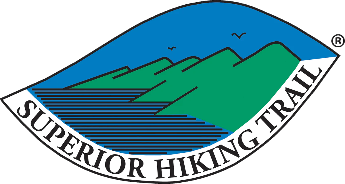
Ownership and Management |
 |
Links |
Superior Hiking Trail Association: Crosby-Manitou State Park to Caribou Falls State Wayside |
Fees |
No fee |
Season |
June to February The trail may be closed for two weeks each November during deer hunting season. People are asked to stay off trails during spring thaw, which is from March to May. Trails are muddy or saturated at this time, and are particularly sensitive to damage. |
Activities |
Hiking Trail running Snowshoeing Backpacking |
Length |
Total trail mileage: 8.0 miles Through-hiking: 7.3 miles Caribou Falls State Wayside Spur: 0.7 mile |
Surfaces |
Natural surface |
Visitor Photos |
||
Share your photo of this destination. |
||
This button not working for you? |
||
Dan W. Andree |
||
Autumn SHT Crosby Manitou/Caribou... Fall along the SHT Horseshoe Ridge… |
||
 |
||
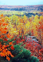
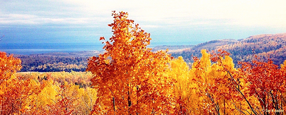
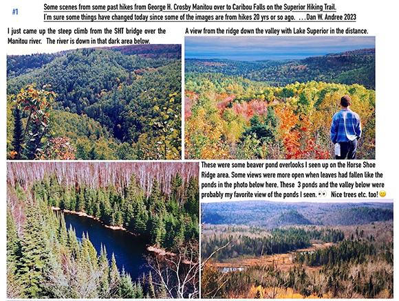
SHT Overlook... On a fall hike I came across this view on the SHT between Manitou and Caribou Rivers. That small open area of land on the left below is part of the Little Manitou River Valley. An area of land which rises maybe 100ft or so in elevation is all that separates the Manitou and Little Manitou River Watershed. |
 |
|
The Little Manitou River is more like a creek or small stream compared to the Manitou River. It’s a nice little stream though. Next over from Little Manitou though not shown in this image is the Caribou River Watershed. Though not the best image you can see Lake Superior in the distance and get a somewhat sense of place. A rugged section of trail some hikers omit and can understand why. I thoroughly enjoyed being on it though. While it is limited far as views of actually seeing the Manitou river because of the terrain and densely forested - all those trees do help keep the river shaded at times helping keep the water cool for brook trout so I am totally okay not seeing expansive views of the river. |
||
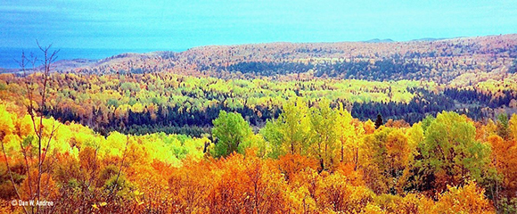
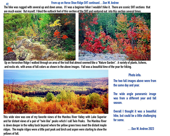
SHT Horse Shoe Ridge Pan.... Autumn. The view was wider but I could only fit so much in. Manitou River Valley in George H. Crosby Manitou State Park from the Superior Hiking Trail. Beautiful area but possibly a somewhat challenging trail section for some. |
 |
|
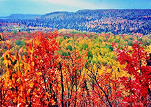
Autumn SHT Horse Shoe Ridge... Diverse forest. In this area of the SHT there are even some Northern Red Oaks on the ridge as you can see one in the far right foreground. There were also Juneberry trees and in one area Sumac. The river is down deep in the area where the pine/spruce etc. meet the mainly deciduous trees in front. |
 |
|
The far left side distant hill is out of the state park and the previous John Driscoll owned it and that land is still in the Driscoll family. I inquired several years back about logging on that hill. He explained of dying birch etc. some other trees and stated a dying forest wasn’t good for anyone. So they logged and replanted trees etc. He did write me a nice letter explaining and also said next time I was up there to stop by the caretaker and I could go look at the falls etc. down by the lake. That was quite a while back but I did go and its a beautiful area right down by the lake too. They take good care of that area. Anyway interesting and very diverse forests etc. in the north shore region etc. |
||
It’s a challenging hiking trail section but I thought the Manitou Valley area was beautiful. |
||
 |
 |
|
 |
||
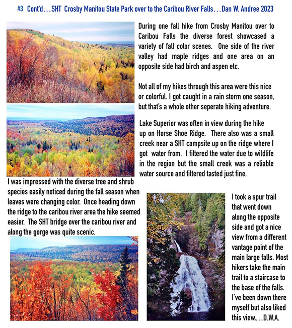
SHT Manitou River from bridge to... Most of the way up that steep incline from the SHT bridge. That dark area down there is where the Manitou river is. One reason I like hiking in fall the weather is cooler. Crosby Manitou State Park trails are back on the other side of the river where the big hill is. Maples were turning on the distant ridge with some birch trees in the foreground showing signs of the fall season starting too. |
 |
|
Anyway I was nearing the top and it wasn’t as steep from here to a little higher area and then it went down hill again and back up and down and up etc. But I think this area here was the steepest short down and up section. |
||
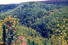
Manitou River from SHT bridge view... This is a photo of the Manitou River from the SHT looking upriver at lower water level during fall. Some trees had lost their leaves. Often when I crossed there would be more water coming down and a more tannin stain to the river but this time it was flowing good but more settled down some. I continued across the SHT bridge and hiked up a rather steep climb of around 300 ft.in elevation. A lot of up and down terrain on the SHT section between Crosby Manitou and Caribou Falls. It can be challenging and one needs to be aware of the weather. |
 |
|
I got caught in the rain on one fall hike but came in on the Caribou side so from Horseshoe Ridge area it was mostly downhill but still around 3 miles or so back to the Caribou wayside parking lot to my vehicle. I think I was fortunate to have been on that trail section several times and knew it well and where the more dangerous areas could be during rain. Trails can and do get slippery and near a river gorge and steep areas etc. can be really dangerous. Though one should be cautious even in normal weather in rugged areas. |
||
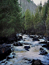
Manitou River from SHT... This view of the river through the trees as it cascades toward the SHT bridge. It’s a steep downhill hike to the bridge but there is this partial river view part way down. This view is from the SHT in Crosby Manitou State Park. There is also a steep climb up the other side once you cross the bridge. The river was at a lower level during this fall hike and the birch had turned fall colors. Most of the photos I have of the SHT section from Crosby Manitou State Park over to Caribou River Falls State Wayside are during fall hikes. Some with the fall colors showing others when all leaves off. Several beaver ponds between Manitou and Caribou Rivers and a few small streams. Also a lot of up and down sections. The thought the Manitou River Valley was beautiful and more remote. |
 |
|
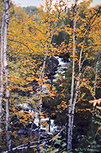
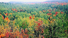
Maples turning... Manitou River Valley with fog coming in. From the SHT Horseshoe Ridge area in George H. Crosby Manitou State Park. Glad the Horseshoe Ridge Addition was added making the park even larger and adding more views to the valley and beyond. |
 |
|
MinnesotaSeasons.com Photos |
||
|
||
|
||

Slideshows |
|
Visitor Videos |
||
Share your video of this bird. |
||
This button not working for you? |
||
|
Other Videos |
||
Superior Hiking Trail: George Crosby State Park to Caribou Falls camp out to Dyers Creek |
About
Aug 7, 2020 Manitou Cascades/Caribou Falls/Alfreds Pond |
Caribou Falls on Minnesota’s North Shore |
About
Mar 29, 2021 My name is Jodi Middendorf and my dream is to encourage people to get outside and feel comfortable in nature. In this video, I share with you one of my favorite places on the North Shore of Lake Superior in Minnesota. Caribou Falls State Wayside is where you can get on a Superior Hiking Trail Spur that will lead you to my favorite water falls in Minnesota, Caribou Falls! I hope you get the chance to visit as well. I camp and hike in and around the Boundary Waters Canoe Area Wilderness. In the Superior National Forest, in Northern Minnesota. I love sharing the journey with you all. |

Visitor Sightings |
|
Share your sightings or comments about of this destination. |
|
This button not working for you? |
|
MinnesotaSeasons.com Sightings |
Visits |
None |
Created: 12/8/2023 Last Updated: © MinnesotaSeasons.com. All rights reserved. |
