Edward Velishek Memorial WMA
About • Location • Activities • Ecology
About |
||
Ownership |
||
|
||
Links |
||
Overview |
||
|
||
History |
||
|
||
Management |
||
|
||
Comments |
||
|
||
Location |
||||
Maps |
||||
|
||||
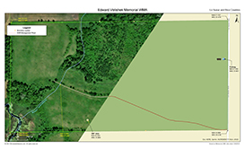
Printable Map(s) with GPS coordinates |
||||
 |
||||
Size |
||||
80.38 acres |
||||
Parking |
||||
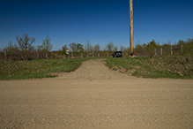
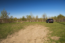
There is a parking lot with a natural/grass surface on the west side of Le Sueur Ave. N44 21.045, W93 31.491 |
||||
Driving Directions |
 |
|||||
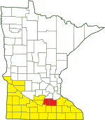
| Le Sueur and Rice Counties | ||||||
| Southwest and Southeast Minnesota | ||||||
Activities |
||
Hiking Trails |
||
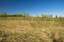
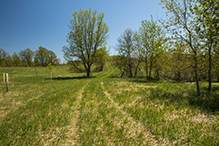
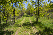
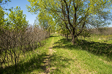
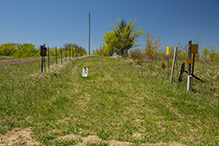
There is a 0.42-mile DNR Management Road leading from Le Sueur Ave. at the southeast corner of the WMA to the restored/planted tall grass prairie at the northwest corner. |
||
Hunting |
||
Deer, Small Game, Pheasants, Waterfowl, Turkey. See Hunting and Trapping Regulations (MN DNR) for details. |
||
Ecology |
|||||||
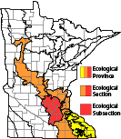
Ecological Classification |
 |
||||||
| Ecological Province | Eastern Broadleaf Forest Province |
||||||
| Ecological Section | Minnesota & NE Iowa |
||||||
| Ecological Subsection | Big Woods |
||||||
| Land Type Association | Cordova Moraine |
||||||
Native Plant Communities* |
|||||||
Not mapped (10/22/2021) |
|||||||
| * Source: The Minnesota Biological Survey, Minnesota Department of Natural Resources, Division of Ecological Resources | |||||||
Natural Features |
|||||||
|
|||||||
360° view
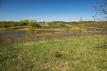
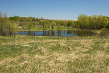
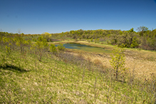
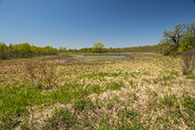
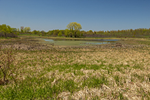
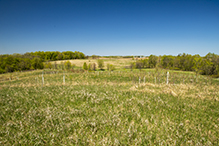
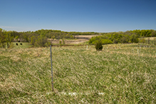
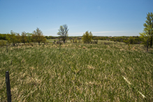
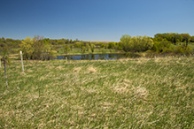
A treeless hilltop near the south boundary offers a spectacular 360° view of the entire WMA and surrounding area. The gps coordinates of this hilltop are N44 20.922, W93 31.869.
Restored Savannas
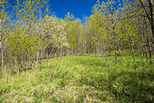
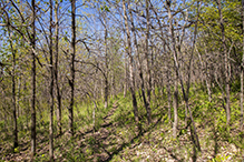
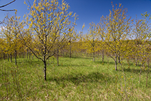
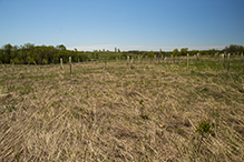
There is a restored oak savanna on the northern half at the middle of the WMA, and an ongoing savanna restoration at the northwest corner.

Slideshows |
||
Visitor Videos |
|||
Share your video of this destination. |
|||
| This button not working for you? Simply email us at info@MinnesotaSeasons.com. Attach a video, a YouTube link, or a cloud storage link. |
|||
Other Videos |
|||

Created: 3/8/2020 Last Updated: © MinnesotaSeasons.com. All rights reserved. |

