Hemlock Ravine SNA
About • Location • Activities • Ecology
About |
||
Ownership |
||
|
||
Links |
||
Overview |
||
|
||
History |
||
Hemlock Ravine SNA was designated 8/23/1982. |
||
Management |
||
|
||
Comments |
||
|
||
Location |
||||
Maps |
||||
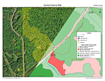
Printable Map(s) with GPS coordinates |
||||
 |
||||
Size |
||||
51 acres |
||||
Parking |
||||
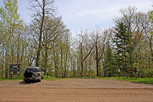
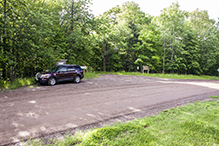
There is a parking area on the east side of Jay Cooke Road. N46 40.005, W92 21.222 |
||||
Driving Directions |
 |
|||||
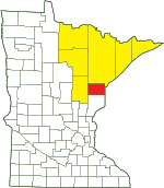
| Carlton County | ||||||
| Northeast Minnesota | ||||||
Activities |
||
Hiking Trails |
||
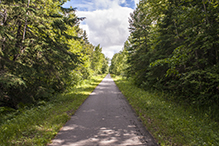
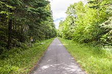
The Willard Munger State Trail forms the long southeast border of this triangular SNA. Parts of this section of trail are shared with the Superior Hking Trail. |
||
Hunting |
||
Deer only, by permit. Varies yearly. See Hunting and Trapping Regulations (MN DNR) for details. |
||
Ecology |
|||||||
Ecological Classification |
 |
||||||
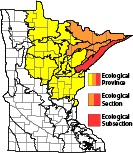
| Ecological Province | Laurentian Mixed Forest Province |
||||||
| Ecological Section | Northern Superior Uplands |
||||||
| Ecological Subsection | North Shore Highlands |
||||||
| Land Type Association | Highland Moraine |
||||||
Native Plant Communities* |
|||||||
Red Oak - Sugar Maple - Basswood - (Bluebead Lily) Forest Sugar Maple - Basswood - (Bluebead Lily) Forest White Pine - White Spruce - Paper Birch Forest |
|||||||
| * Source: The Minnesota Biological Survey, Minnesota Department of Natural Resources, Division of Ecological Resources | |||||||
Natural Features |
|||||||
|
|||||||
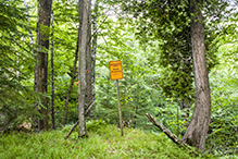
Sanctuary
A portion of this site is a state wildlife sanctuary. It is closed to the public to protect rare and sensitive resources. It splits Hemlock Ravine SNA in half north to south. Parking is on the west section. The east section can be accesed from the Willard Munger State Trail.

Visitor Photos |
|||||
Share your photo of this destination. |
|||||
| This button not working for you? Simply email us at info@MinnesotaSeasons.com. Attach one or more photos and, if you like, a caption. |
|||||
Laurie Grimm |
|||||
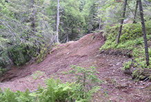
Mudslide Hemlock Ravine |
|||||
 |
|||||
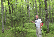
Tom Hemlock Ravine Tree |
|||||
 |
|||||
MinnesotaSeasons.com Photos |
|||||
Parking |
|||||
 |
 |
||||
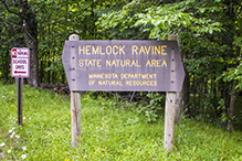
Wood Routed Sign |
|||||
 |
|||||
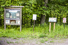
Information Sign at Parking Area |
|||||
 |
|||||
Willard Munger State Trail - Hinckley to Duluth |
|||||
 |
 |
||||
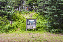
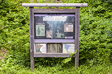
Information Sign on Bike Trail |
|||||
 |
 |
||||
Sanctuary |
|||||
 |
|||||
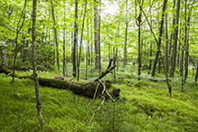
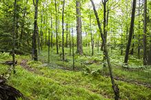
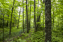
Deer Enclosure |
|||||
 |
 |
||||
 |
|||||
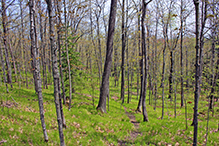
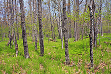
Red Oak - Sugar Maple - Basswood - (Bluebead Lily) Forest |
|||||
 |
 |
||||
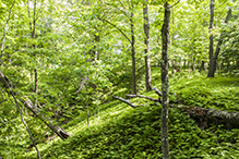
Sugar Maple - Basswood - (Bluebead Lily) Forest |
|||||
 |
|||||
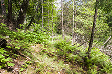
White Pine - White Spruce - Paper Birch Forest |
|||||
 |
|||||

Slideshows |
||
Visitor Videos |
|||
Share your video of this destination. |
|||
| This button not working for you? Simply email us at info@MinnesotaSeasons.com. Attach a video, a YouTube link, or a cloud storage link. |
|||
Other Videos |
|||

Created: Last Updated: © MinnesotaSeasons.com. All rights reserved. |


