Ottertail Prairie SNA
|
|||||||
|
|||||||
|
|||||||
|
|||||||
 |
|||||||
Otter Tail County |
|||||||
|
|||||||
|
|||||||
|
|||||||
| Size | 320 acres |
 |
|||||
| Maps | |||||||
| Parking | N46 9.123, W96 13.915 |
||||||
| Hiking Trails | No maintained trails |
||||||
| Hunting | No hunting |
||||||
|
|||||||
|
|||||||
| Ecological Classification | Province |
Prairie Parkland Province |
 |
||||
Section |
Red River Valley |
||||||
Subsection(s) |
Red River Prairie |
||||||
Land Type Association(s) |
Barnesville Beach Complex |
||||||
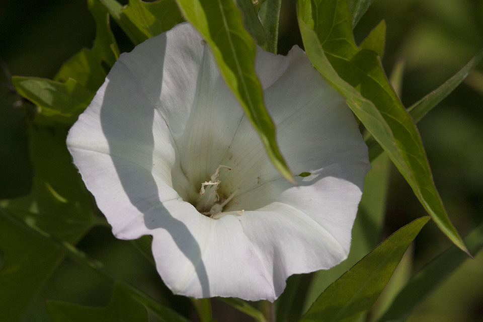
| Native Plant Communities1 | Mesic Prairie (Northern) |
||||||
| Ownership | |||||||
| Links | |||||||
| Comments | Ottertail Prairie SNA is bordered on the south by the Doran Wildlife Management Area; on the east by the Prairie Ridge Wildlife Management Area; and by land owned and managed by the Fergus Falls Fish and Game Club, Inc, now a Walk In Access site. |
||||||
| Visits | 9/15/2009 |
||||||
Visitor Photos |
|||
Share your photos of this destination. |
|||
MinnesotaSeasons.com Photos |
|||
Parking |
|||
 |
|||
Wood Routed Sign |
|||
 |
 |
||
Mesic Prairie (Northern) |
|||
 |
|||

Slideshows |
||

Visitor Videos |
||
Share your video of this destination. |
||
Other Videos |
||


Last Updated: