Glynn Prairie SNA
About • Location • Activities • Ecology
About |
||
Ownership |
||
|
||
Links |
||
Overview |
||
|
||
History |
||
|
||
Management |
||
|
||
Comments |
||
|
||
Location |
||||
Maps |
||||
|
||||
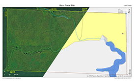
Printable Map(s) with GPS coordinates |
||||
 |
||||
Size |
||||
80 acres |
||||
Parking |
||||
N44 15.875, W95 41.672 |
||||
Driving Directions |
 |
|||||
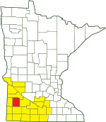
| Lyon County | ||||||
| Southwest Minnesota | ||||||
Activities |
||
Hiking Trails |
||
No maintained trails |
||
Hunting |
||
No hunting |
||
Ecology |
|||||||
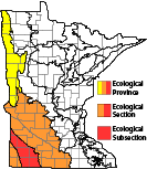
Ecological Classification |
 |
||||||
| Ecological Province | Prairie Parkland Province |
||||||
| Ecological Section | North Central Glaciated Plains |
||||||
| Ecological Subsection | Coteau Moraines |
||||||
| Land Type Association | Tracey Till Plain |
||||||
Native Plant Communities* |
|||||||
Mesic Prairie (Southern) |
|||||||
| * Source: The Minnesota Biological Survey, Minnesota Department of Natural Resources, Division of Ecological Resources | |||||||
Natural Features |
|||||||
|
|||||||
Intermittent Streams
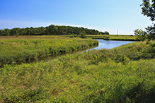
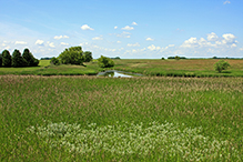
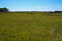
There are two intermittent streams on the site. The larger stream, labeled on the map, is shallow, wide, and often dry near the north boundary of the SNA. The smaller stream, not labelled but visible on the aerial map, is a deep but narrow gorge that can be easily hopped across near the western boundary of the SNA. Where the two streams meet there is a land bridge enabling an easy crossing.

Slideshows |
||

Visitor Videos |
|||
Share your video of this destination. |
|||
| This button not working for you? Simply email us at info@MinnesotaSeasons.com. Attach a video, a YouTube link, or a cloud storage link. |
|||
Other Videos |
|||

Created: Last Updated: © MinnesotaSeasons.com. All rights reserved. |





_05t.jpg)


