![]()
![]()
![]()
Wild Indigo Prairie SNA
|
|||
| Mower County | |||
| Southeast Minnesota | |||

| Size | 145 acres |
|||||||||||||||||||||
| Maps |
|
|||||||||||||||||||||
| Parking | East (Front Street) Center (610th Ave.) West (570th Ave.) |
|||||||||||||||||||||
| Hiking Trails | Primitive hiking trail: 12 miles |
|||||||||||||||||||||
| Hunting | No hunting |
|||||||||||||||||||||
| Ecological Classification | Province | Eastern Broadleaf Forest Province |
 |
|||||||||||||||||||
| Section | Minnesota & NE Iowa Morainal |
|||||||||||||||||||||
| Subsection(s) | Oak Savanna |
|||||||||||||||||||||
| Land Type Association(s) | Hayfield Till Plain Le Roy Till Plain |
|||||||||||||||||||||
| Native Plant Communities1 | Mesic Prairie (Southern) | |||||||||||||||||||||
| Ownership | ||||||||||||||||||||||
| Links | ||||||||||||||||||||||
| Comments | This SNA is follows an abandoned railroad right-of-way for 12 miles. Parts of the primitive trail are mowed at least once in some years.. |
|||||||||||||||||||||
| Visits | 10/28/2008 |
8/25/2010 | ||||||||||||||||||||


| Visitor Photos | |||
Share your photo of this destination. |
|||
This button not working for you? |
|||
| MinnesotaSeasons.com Photos | |||
West Parking |
|||
 |
 |
||
Center Parking |
|||
 |
 |
||
East Parking |
|||
 |
|||
Railroad Bridges |
|||
 |
 |
||
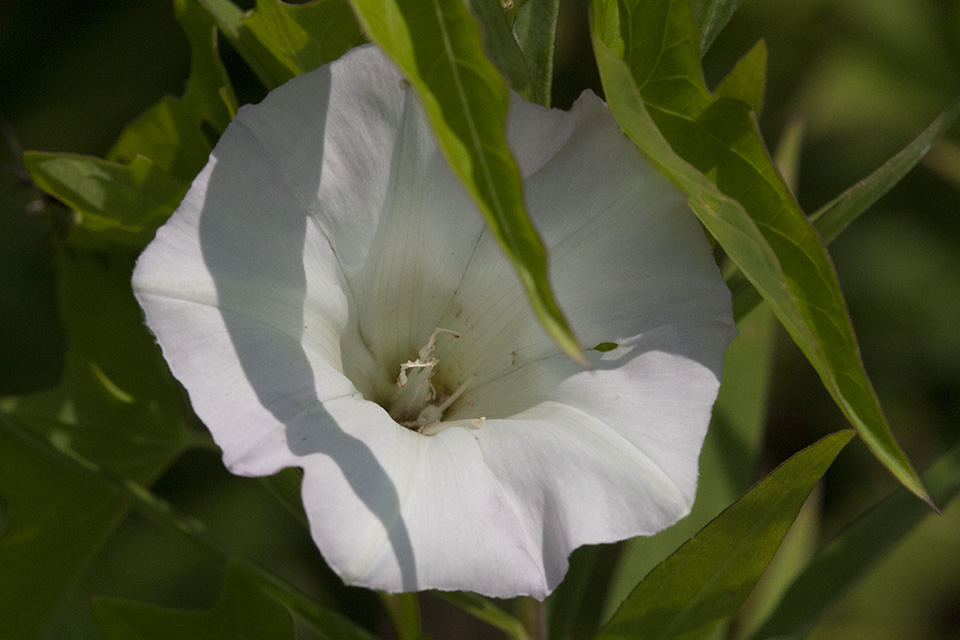
Mesic Prairie (Southern) |
|||
 |
 |
||

| Slideshows | ||

| Visitor Videos | ||
Share your video of this destination. |
||
| Other Videos | ||


_02.jpg "rough blazing star")


Last Updated: