Brownsville Bluff SNA
About • Location • Activities • Ecology
About |
||
Ownership |
||
|
||
Links |
||
Overview |
||
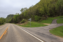
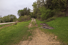
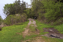
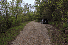
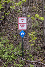
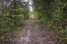
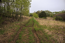
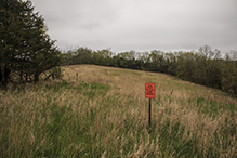
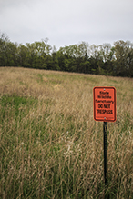
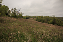
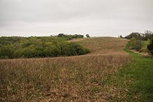
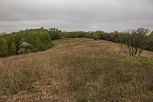
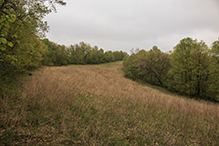
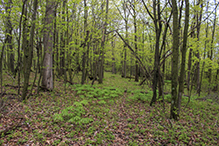
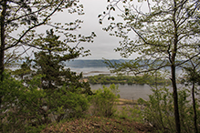
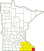
Brownsville Bluff Scientific and Natural Area, in Houston County, was designated on January 19, 2016. The 39-acre south section is a wildlife sanctuary that is closed to the public. The site consists of 286 acres bedrock bluff covered with windblown sediment. The eastern-facing slopes are moderately steep to very steep. They have a mature, moderately moist forest of sugar maple, basswood, ironwood, northern red oak, and white oak. The west-facing slopes are less steep. They have a dry to moderately moist mature forest of bur oak, northern pin oak, northern red oak, and paper birch, with some shagbark hickory, white oak, and black walnut. At the top of the bluff there is a prairie that has been used as an agricultural field. It will be restored to prairie and savanna. An access road leads from the parking area (walk around the gate) 0.67 miles to the top of the bluff. A footpath follows the cleared fields on the bluff top to the northern boundary. Another footpath leads east from there to a spectacular overlook at the northeast corner of the SNA, a dizzying 400 feet above the road below. |
||
History |
||
This site was designated Brownsville Bluff Scientific and Natural Area on January 19, 2016. |
||
Management |
||
|
||
Comments |
||
|
||
Location |
||||
Maps |
||||
|
||||
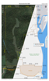
Printable Map(s) with GPS coordinates |
||||
 |
||||
Size |
||||
286 acres |
||||
Parking |
||||
N43 40.700, W91 16.702 |
||||
Driving Directions |
 |
|||||
| Houston County | ||||||
| Southeast Minnesota | ||||||
Activities |
||
Hiking Trails |
||
There are no maintained hiking trails. An access road leads from the parking area (walk around the gate) 0.67 miles to the top of the bluff. A footpath follows the cleared fields on the bluff top to the northern boundary. Another footpath leads east from there to an overlook at the northeast corner of the SNA, a dizzying 400 feet above the road below. The Gopherland Trail snowmobile trail passes through the sanctuary portion of the SNA and may be used by snowmobiles when covered with snow. |
||
Hunting |
||
White-tailed Deer. See Hunting and Trapping Regulations (MN DNR) for details. |
||
Ecology |
|||||||
Ecological Classification |
 |
||||||
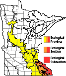
| Ecological Province | Eastern Broadleaf Forest Province |
||||||
| Ecological Section | Paleozoic Plateau |
||||||
| Ecological Subsection | The Blufflands |
||||||
| Land Type Association | Brownsville Slopes Caledonia Ridgetops Mississippi River Valley |
||||||
Native Plant Communities* |
|||||||
Not mapped (10/11/2021) Preliminary List Southern Dry-Mesic Oak-Hickory Woodland Southern Mesic Oak-Basswood Forest |
|||||||
| * Source: The Minnesota Biological Survey, Minnesota Department of Natural Resources, Division of Ecological Resources | |||||||
Natural Features |
|||||||
Oak-hickory woodlands, oak-basswood forest, steep bluffs, old fields, and overlook. |
|||||||
State Forest
This SNA lies within the Richard J. Dorer Memorial Hardwood State Forest.
Sanctuary
The 39-acre south section of this SNA is a wildlife sanctuary. It is closed to the public except to those with a research permit.


Slideshows |
||
Visitor Videos |
|||
Share your video of this destination. |
|||
| This button not working for you? Simply email us at info@MinnesotaSeasons.com. Attach a video, a YouTube link, or a cloud storage link. |
|||
Other Videos |
|||

Created: Last Updated: © MinnesotaSeasons.com. All rights reserved. |

