![]()
![]()
![]()
![]()
Vermillion River WMA
About • Location • Activities • Ecology
About |
||
Ownership |
||
|
||
Links |
||
Overview |
||
|
||
History |
||
|
||
Management |
||
|
||
Comments |
||
|
||
Location |
||||
Maps |
||||
Printable Map(s) with GPS coordinates |
||||
West Unit |
West Unit, north section | |||
 |
 |
|||
East Unit |
Complete |
|||
 |
|
|||
Size |
||||
1,492.79 acres |
||||
Parking |
||||
East UnitAnnette Ave. Blaine Ave. Clayton Ave. A gated, unnamed gravel road at the southeast corner of the unit on Clayton Ave. leads west 0.4 mile to a parking lot south of the gravel pit. According to the Minnesota DNR’s map of the Vermillion River Complex, this lot can be used by visitors to the WMA. However, there are no signs or boundary markers to indicate that this is anything but private property. For this reason, parking here is not recommended.
West UnitAnnette Ave. County Highway 66 (main parking lot) 190th St. W. |
||||
Driving Directions |
 |
|||||
| Dakota County | ||||||
| Metro Area | ||||||
Activities |
||
Hiking Trails |
||
A well-worn footpath leads from the County Highway 66 parking lot straight north to the Vermillion River. |
||
Hunting |
||
Deer, Forest Upland Birds, Pheasants, Waterfowl, Turkey, Doves. See Hunting and Trapping Regulations (MN DNR) for details. |
||
Ecology |
|||||||
Ecological Classification |
 |
||||||
| Ecological Province | Eastern Broadleaf Forest Province |
||||||
| Ecological Section | Minnesota & NE Iowa Morainal |
||||||
| Ecological Subsection | Oak Savanna |
||||||
| Land Type Association | Coates Sand Plain |
||||||
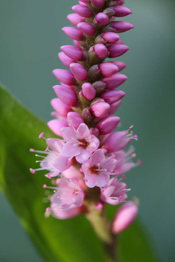
Native Plant Communities* |
|||||||
Lowland Aspen Forest |
|||||||
| * Source: The Minnesota Biological Survey, Minnesota Department of Natural Resources, Division of Ecological Resources | |||||||
Natural Features |
|||||||
|
|||||||
Visitor Photos |
|||||
Share your photo of this destination. |
|||||
| This button not working for you? Simply email us at info@MinnesotaSeasons.com. Attach one or more photos and, if you like, a caption. |
|||||
|
|||||
MinnesotaSeasons.com Photos |
|||||
West Unit |
|||||
Parking lot, County Highway 66 |
|||||
 |
 |
||||
 |
 |
||||
 |
 |
||||
A minimum maintenance road (190th St W) provides access to the northern seven-eighths of the West Unit. |
 |
||||
The gate across the road … |
 |
||||
… is closed and locked in the spring, … |
 |
||||
… open in the summer. |
 |
||||
Parking lot, 190th St W |
|||||
 |
 |
||||
 |
|||||
Parking lot, 190th St W and Annette Ave |
|||||
 |
 |
||||
 |
|||||
Parking lot, Annette Ave |
|||||
 |
 |
||||
Medium-tall grassland planted with native grasses and forbs May |
|||||
 |
 |
||||
July |
|||||
 |
 |
||||
Vermillion River |
|||||
 |
 |
||||
 |
|||||
Emergent wetland |
|||||
 |
 |
||||
A concrete walking bridge crosses a long inlet |
|||||
 |
 |
||||
Former cropland planted with native grasses and forbs |
|||||
 |
 |
||||
Unmowed grasses |
|||||
 |
|||||
Aspen forest |
|||||
 |
|||||
Aspen woodland |
|||||
 |
|||||

Slideshows |
||

Visitor Videos |
|||
Share your video of this destination. |
|||
| This button not working for you? Simply email us at info@MinnesotaSeasons.com. Attach a video, a YouTube link, or a cloud storage link. |
|||
Other Videos |
|||


")


")


_04.jpg "prairie fleabane (var. strigosus)")


Created: 3/25/2020 Last Updated: © MinnesotaSeasons.com. All rights reserved. |